Just as some people love traveling from place to place, others are armchair explorers who check Google Maps to learn more about the world. Over the years, they’ve come across some fascinating areas, including hidden islands, shocking landmasses, and secrets that have remained buried far too long.
One such discovery happened in 2021 when a puzzling dark shape was noticed in the ocean by a Google Maps user who promptly posted about it online. Their finding baffled everyone and sparked wild conspiracy theories, until the truth finally emerged and shocked everyone even more.
There are so many secrets about our world that have yet to be revealed, and some can cause chaos when they actually come to light
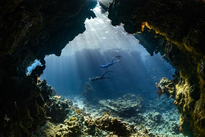
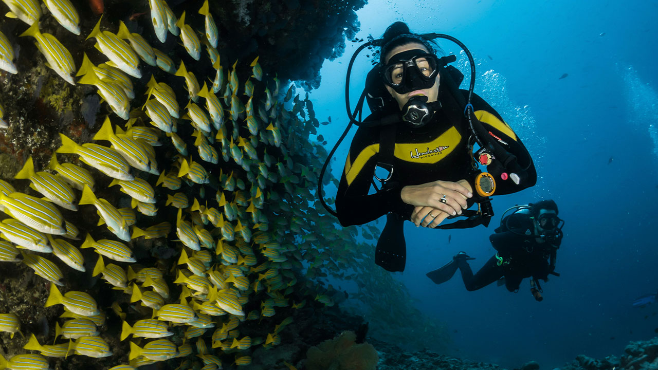
NEOM / Unsplash (not the actual photo)
In 2021, a random person noticed a dark spot in the middle of the Pacific Ocean and shared a screenshot of it online
This satellite image, taken from Google Maps, shows a bizarre triangular spot that many folks called a black hole. Most people speculated about what it could be and why it seemed censored or covered up, with some even saying it could be a top-secret military base.
This photo got so much publicity because the surrounding water was clearly visible, with waves around the shoreline, yet the middle seemed deliberately darkened. After the post went live, many conspiracy theorists went wild trying to uncover the secret behind the black hole, and the truth eventually came to light.
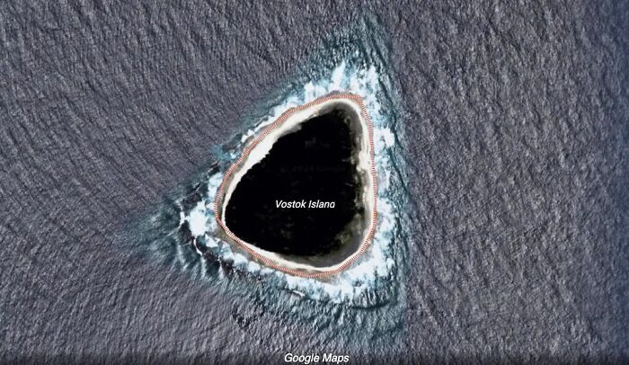
It was soon revealed that the dark mass in the ocean was Vostok Island
This uninhabited coral landmass lies 4000 miles east of Australia in the central Pacific Ocean; it’s one of the 33 landmasses of the Republic of Kiribati. This island is known by several names, including Anne, Bostock, Leavitts, Reaper, and even Wostock.
It appeared like a dark hole on Google Maps because of its dense Pisonia tree cover, which looked almost black from the sky. Even National Geographic journalists visited the remote area as part of an expedition to study its marine life, and Enric Sala and his team described it as the best dive of their lives. They saw sharks, barracuda, and surgeonfish, and found the entire place pristine.
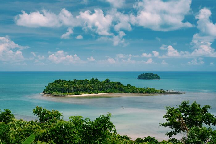
Ragnar Vorel / Unsplash (not the actual photo)
Vostok Island was named by a Russian explorer who came across it centuries ago
Fabian Gottlieb von Bellingshausen was the man who came across the landmass in 1820 and named it after his ship, Vostok (meaning ‘East’ in Russian). In 1860, the United States claimed the island under the Guano Act, but it never exploited its natural fertilizer deposits. Even attempts to establish a copra plantation on the atoll failed, which may be why the area remains undisturbed and its indigenous flora is flourishing.
The island covers 24 hectares, and its beaches are made of coral sand and rubble, with thick Pisonia trees growing from its peat soil. The island also has no lagoon or freshwater source, which could explain why no one has chosen to live there.
The Vostok Islands attract a lot of birds, but that doesn’t mean it’s a safe space for them
The great frigatebird and brown noddy are among the many birds that keep visiting the atoll. Unfortunately for them, the thick Pisonia trees can act like a trap, and once they get caught in its pods, they might not survive. That’s why people who end up on the island might find piles of bones beneath the trees, which are rightfully nicknamed “bird-catchers.”
The winged creatures who do survive might end up accidentally carrying the thick, mucus-covered, hooked seeds of the trees, thereby helping to disperse them to other islands. Other fauna there include the Polynesian rat, copper-tailed skink, coconut crabs, and green turtles.
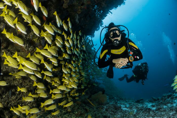
Sebastian Pena Lambarri / Unsplash (not the actual photo)
Even though the National Geographic team visited Vostok Island, places like this usually forbid entry. In general, people don’t go to the atoll except for the occasional scientist or yachter. Passengers on the Golden Princess often see it on the ship’s route from French Polynesia to Hawaii.
Getting onto the island is said to be difficult, as it has no harbor or anchorage. Because the island has no freshwater source, it’s difficult for people to establish permanent residency there. Combined with its small size and dense forest, this makes it a tough place for anyone to make a home.
Even though this Google Maps “black hole” drew a lot of interest, there are many more unique landmasses like it all over the place
Many interesting and mysterious islands like this exist worldwide, and UNESCO notes that Socotra in Yemen is particularly remarkable. Its landscape is filled with mythical Dragon’s Blood trees and flora that are extremely distinct. In fact, 37% of Socotra’s 825 plant species can’t be found anywhere else in the world.
Now that it’s clear Vostok Island isn’t just a black hole in the middle of the ocean, we can appreciate all the amazing things it offers, like its flora and fauna. Even though its trees can be a little dangerous, they certainly serve as a great illusion from the sky.
If you didn’t know about this dark spot on the maps, what would you have thought it was? We’d love to hear your perspective on this story.
Is it just a bunch of trees or something else completely, take a look for yourself
@blagus3 From above, it looks normal… until you zoom in #googleearth #vostokisland #hiddensecrets ♬ izvorni zvuk – Blagus
Folks came up with all kinds of wacky suggestions about what the black shape could be, until they found out what it really was